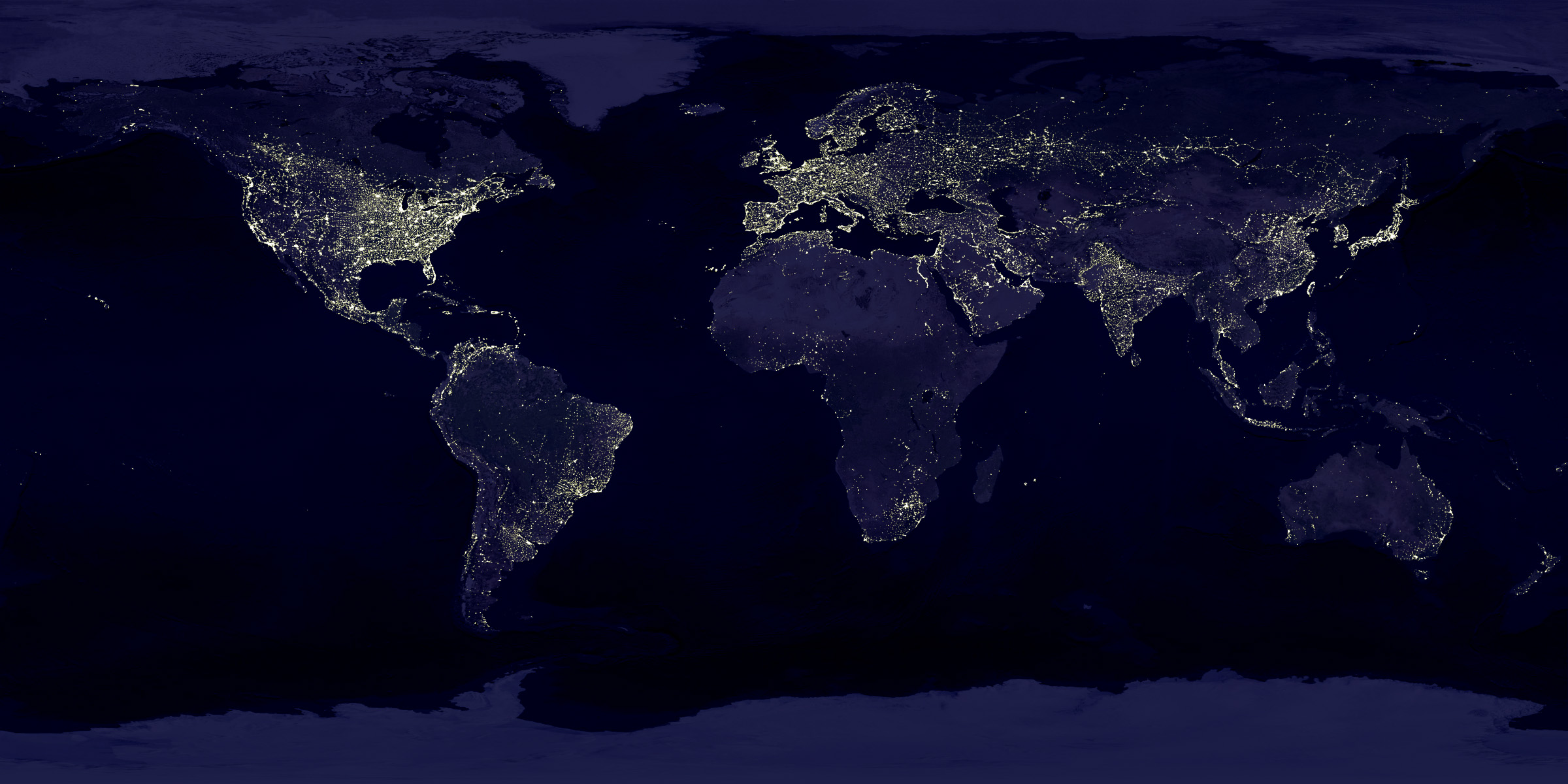
Combining satellite imagery and machine learning to predict poverty
The goal of this problem set is to replicate and extend the results of Jean et al.’s 2016 paper, “Combining satellite imagery and machine learning to predict poverty.” This problem set will be challenging and time-consuming, so I suggest you start immediately. Your first step should be to carefully read the original paper as well as the supplementary materials. You can preview the assignment here. When you are ready, download the iPython notebook from gitHub and get started!

